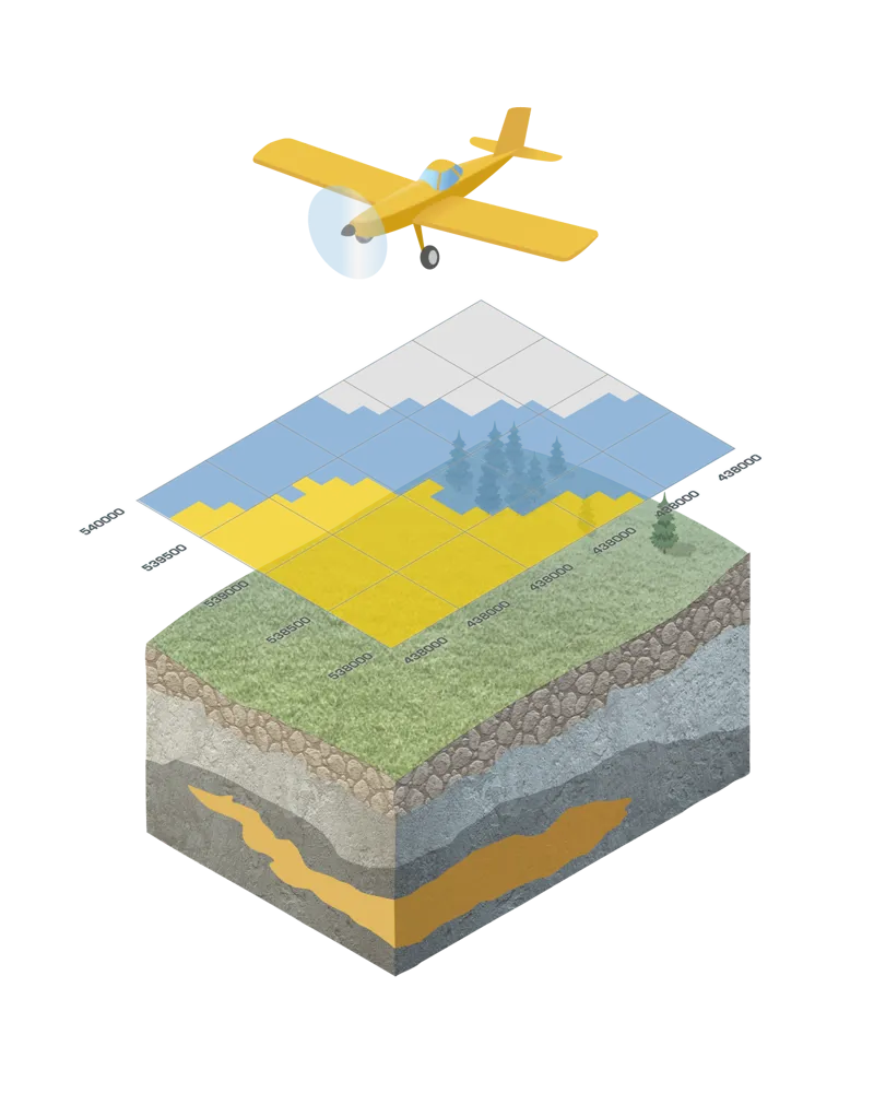
The survey is conducted from a helicopter. The model used is an Astar 350 B3 Ecureuil (Squirrel) or similar.
The measuring instrument is suspended beneath the helicopter at a low altitude, approximately 35–40 meters above the treetops. The equipment is attached by a cable under the helicopter, which flies at about 70 meters altitude. The pilot always aims to avoid flying over houses.
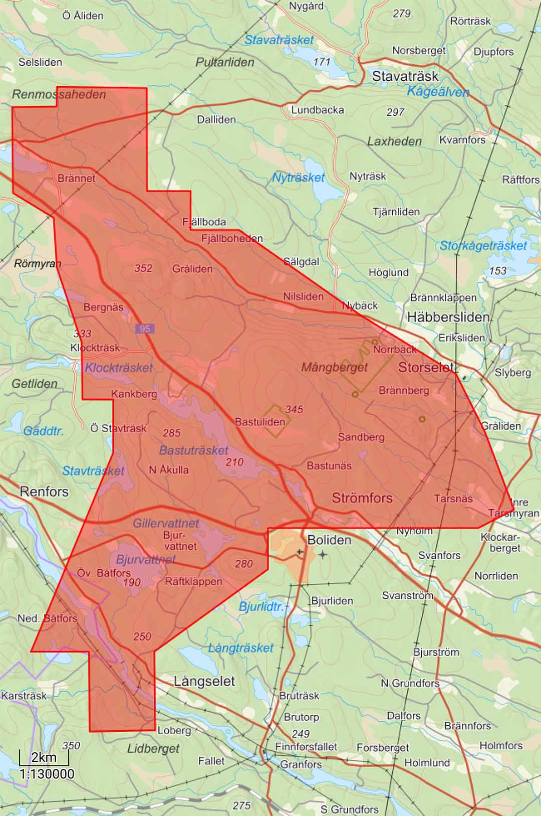
The survey is carried out along parallel survey lines spaced approximately 150 meters apart. A smaller number of so-called tie lines, perpendicular to the survey lines, will also be flown. The distance between these tie lines is approximately 1,500 meters.
The survey is weather-dependent and will be conducted during daytime between 08:00 and 18:00. The work may locally cause temporary noise disturbance at most. Boliden’s focus is on taking the necessary precautions and minimizing the impact on the surroundings as much as possible, including by adjusting the flight altitude to local conditions. The helicopter will maintain a speed of approximately 80 km/h, and the survey is expected to be completed within 3–4 weeks, weather permitting.
The helicopter’s flight altitude may appear lower than it actually is. The pilot will, whenever possible, adapt the flight height over farms where animals are present. For this reason, we would appreciate receiving information about horse farms and similar properties within the survey area.
For more information about the survey, or to provide relevant information, please contact Boliden Mineral AB:
Exploration Geophysics Department, Boliden
Phone: +46 76 117 82 44
(07:30–16:00 weekdays)
Alternatively:
Email: [email protected]