-
Language
- English
- svenska
-
suomi
Tervetuloa!
Bolidenin internetsivujen viralliset kielet ovat ruotsi ja englanti. Suomeksi löydät Bolidenin Suomen yksiköitä koskevat tiedot kohdasta Toimipaikat sekä kaikki sivut Ura Bolidenissä -otsikon alla. Ellei sivuja ole suomeksi, ne näkyvät englanniksi. Tervetuloa tutustumaan!
- Operations
- Products
- Career
- Sustainability
- Investor Relations
- Newsroom
- Contact
Methods of exploration
Geophysical surveys, bedrock mapping, geochemical sampling and diamond drilling are examples of the methods we use in exploration to find new mineral deposits.

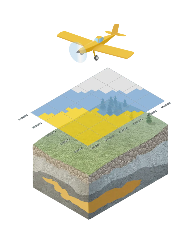
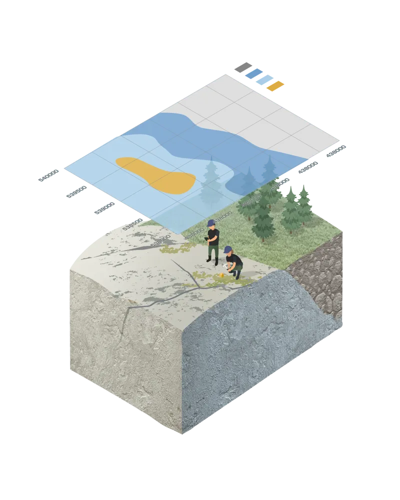
Airborne geophysical survey
Geophysical measurements are carried out from the air, surface and underground. Airborne geophysical methods are typically carried out for mapping regional geological structures to delineate areas favorable to metal exploration. Common airborne surveys methods are magnetic, radiometric, gravity or electromagnetics. Airborne techniques are cost effective and time efficient, while significantly reducing environmental impact on large areas under exploration investigation.
A common method for exploring the bedrock
Gradient IP is a survey method that is being used for exploring the bedrock’s qualities. Andreas Hjalmarsson gives you an insight into how the method works.
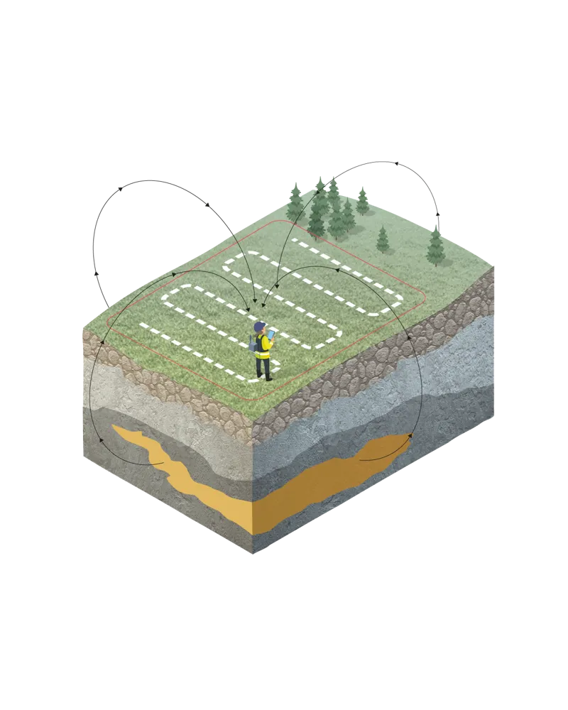
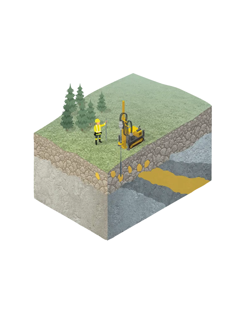
Surface geophysical survey
Geophysical ground surveys are typically carried out when a geological area of interest has been identified and exploration requires more detailed investigations. Boliden carries out electromagnetic, electrical, magnetic, and gravimetric ground surveys. Ground surveys allow for user defined parameter specification with the aim to improve depth of investigation and spatial resolution for quality modeling and interpretation.
Underground geophysics is typically performed on drillholes but can also be deployed within underground mine infrastructure. Once a drillhole is finished geophysical methods can be conducted down the hole to further improve depth of investigation and spatial resolutions at depth.
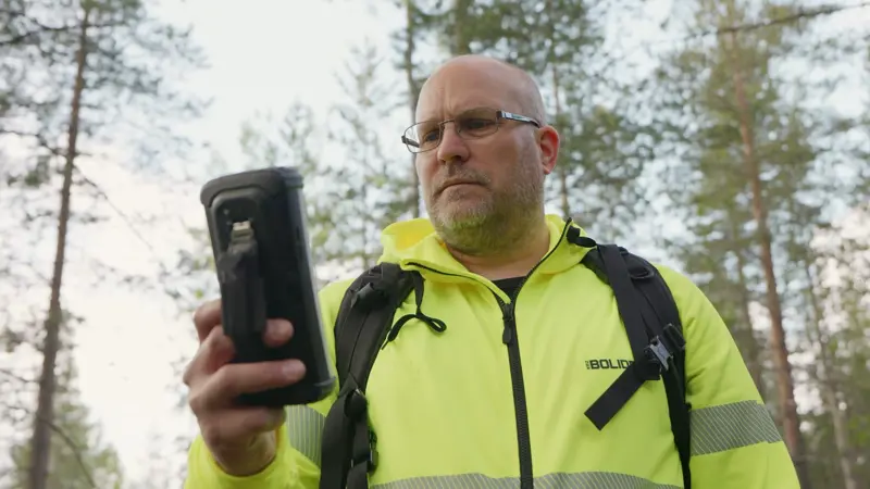
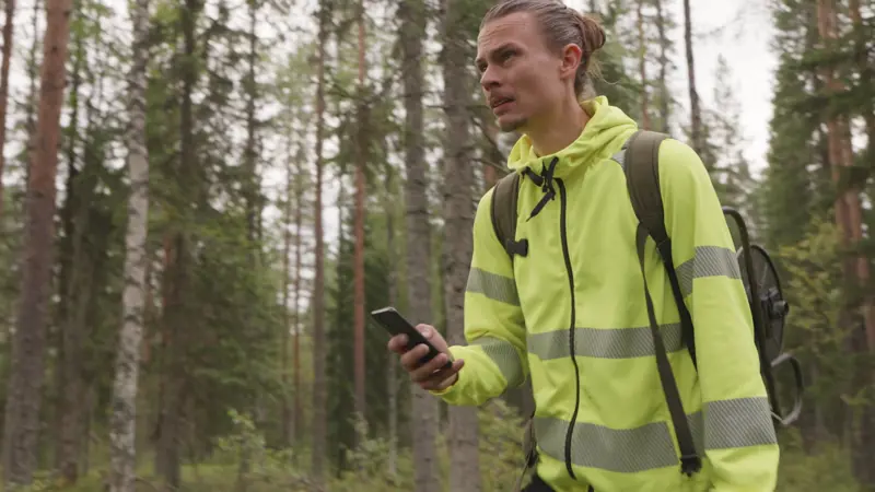
Survey with minimal impact
Join Mikko Pekkanen as he demonstrates our most common geophysical ground-based measurement method. Learn about the gentle techniques and equipment used to explore the properties of the bedrock in a sustainable way.
Bedrock mapping
Where there are outcrops, the bedrock is mapped to collect all kinds of geological information that can give clues of where to find economic mineralization. This typically also includes physically searching for geologically interesting boulders that have been separated from the bedrock.
This method has limited or no environmental impact since it does not involve any heavy equipment.
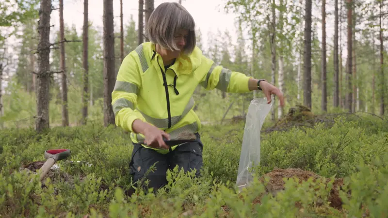
More than just soil
The soil can tell us much more than we might think. Join Annika Wasström when she shows how superficial soil sampling for exploration purposes is done.
Geochemical sampling
Where there is a moraine cover on top of the bedrock, geochemical sampling of the overburden can be used as an exploration tool to study the chemical composition of an area. Sampling can be done by handheld shovels or by a small drill rig.
This method has limited impact on the environment if a drill rig is used otherwise none.
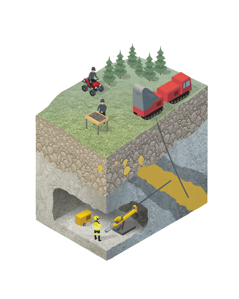
Diamond drilling
By extracting drill cores from as deep as 2,000 meters below the surface, the bedrock’s geology and possible mineralization can be mapped in depth through logging of the cores. This exploration method is both used from the surface and underground in existing mines.
This method has some impact on the environment as there is heavy equipment involved. However, Boliden tries to use machinery with low ground pressure. After drilling the drill rods are cut near the surface and capped to avoid water leaking out.
Visit a drill site
Core drilling can be used to map and analyze the geological conditions of the bedrock. Geologist Annika Wasström explains how we strive to minimize our impact on nature as much as possible.
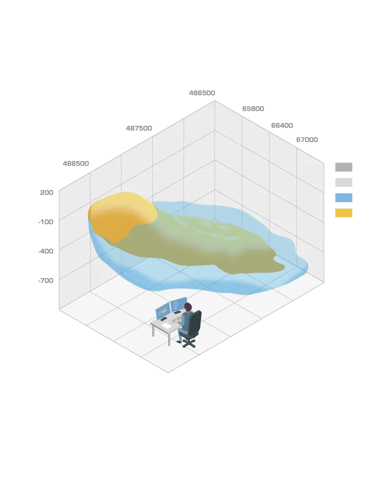
Bedrock 3D modeling
Based on all collected data, 3D models of the bedrock describing the geology, mineralization and economic parameters are created that guide the creation of mine plans and decision-making in mining operations.